
45.00
1 - 2 Weken
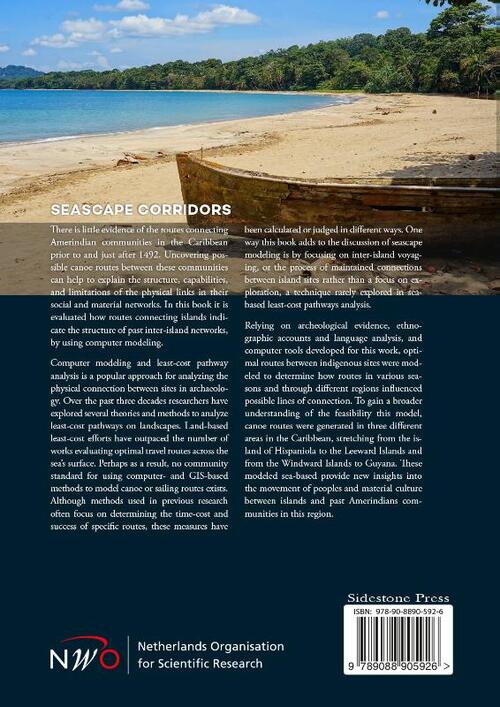
There is little evidence of the routes connecting Amerindian communities in the Caribbean prior to and just after 1492. Uncovering possible canoe routes between these communities can help to explain the structure, capabilities, and limitations of the physical links in their social and material networks. This book evaluates how routes connecting islands indicate the structure of past inter-island networks, by using computer modeling.
Computer modeling and least-cost pathway analysis is a popular approach for analyzing the physical connection between sites in archaeology. Over the past three decades researchers have explored several theories and methods to analyze least-cost pathways on landscapes. Land-based least-cost efforts have outpaced the number of works evaluating optimal travel routes across the sea's surface. Perhaps as a result, no community standard for using computer- and GIS-based methods to model canoe or sailing routes exists. Although methods used in previous research often focus on determining the time-cost and success of specific routes, these measures have been calculated or judged in different ways. One way this book adds to the discussion of seascape modeling is by focusing on inter-island voyaging, or the process of maintained connections between island sites rather than a focus on exploration, a technique rarely explored in sea-based least-cost pathways analysis.
Relying on archeological evidence, ethnographic accounts and language analysis, and computer tools developed for this work, optimal routes between indigenous sites were modeled to determine how routes in various seasons and through different regions influenced possible lines of connection. To gain a broader understanding of the feasibility this model, canoe routes were generated in three different areas in the Caribbean, stretching from the island of Hispaniola to the Leeward Islands and from the Windward Islands to Guyana. These modeled sea-based routes provide new insights into the movement of peoples and material culture between islands and past Amerindians communities in this region.
Contents
Acknowledgments
Chapter 1: Introduction
1.1 Objectives and research questions
1.2 The model's underpinnings
1.3 Outline of chapters
Chapter 2: Modeling canoe voyaging in theory
2.1 Seascapes as spaces
2.2 Movement through sea spaces
2.3 Sea-based mental maps
2.4 Conclusion
Chapter 3: Caribbean canoes and canoe modeling
3.1 The canoe as a base for modeling
3.1.1 Canoes: What we know
3.1.2 Paddles and Propulsion
3.1.3 To sail or not to sail
3.2 Modeling land and sea routes
3.2.1 The origins of optimal modeling methods
3.2.2 Previous attempts to model sea routes
3.2.3 Incorporating archaeological evidence
3.3 Conclusion
Chapter 4: Modeling reciprocal voyages
4.1 The Influence of current and wind
4.2 Adding a human element
4.3 Evaluating currents
4.4 Isochrone modeling
Chapter 5: Routes between neighbouring islands: Connecting partners in the Long Island lithic exchange network
5.1 Some islands and sites
5.1.1 Antigua and Long Island
5.1.2 Anguilla
5.1.3 St. Martin
5.1.4 Saba
5.1.5 St. Eustatius
5.1.6 St. Kitts
5.1.7 Nevis
5.1.8 Barbuda
5.1.9 Montserrat
5.2 Modeling interpretations
5.2.1 Route costs
5.2.2 Route trajectories
5.3 Conclusion
Chapter 6: Modeling canoeing across the Mona Passage and the Anegada Passage: Connecting the Greater and the Lesser Antilles
6.1 Connecting the Greater Antilles and Lesser Antilles
6.1.1 Taíno across the Antillean divide
6.1.2 Ceramic styles
6.1.3 Three pointers and shell masks
6.2 Islands and p
- : Emma Slayton
- : Sidestone Press Dissertations
- : 9789088905773
- : Engels
- : Paperback
- : 300
- : juni 2018
- : 866
- : 256 x 183 x 22 mm.